|

With the new AI powered Deed-Reader, plotting deeds has never been easier!
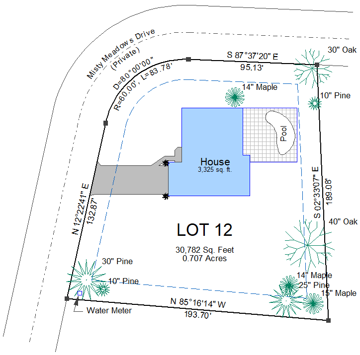
Plot tracts, parcels, metes and bounds descriptions, legal descriptions, and other plats and surveys.
Affordable and easy, Deed-Chek is perfect for title companies, real estate attorneys, appraisers, assessors and ancestry research.
- Automatic Deed-Reader with AI technology can plot most metes and bounds descriptions with a single mouse click!
- Automatically plot deeds from PDF files, Word documents, and even messy deed scans.
- Check area and closure.
- Plot multiple lots.
- Plot deed maps to scale.
- Find gaps, overlaps and net area.
- Automatically plot sectional breakdown (aliquot parts).
- Add your own lines, curves, text and symbols.
- Bearings, distances, and curve tables.
- Draw arrowheads and leader lines.
- Fast zoom and pan with the mouse wheel.
- Up to 256 nameable layers.
- Group/ungroup objects.
- Move, Copy, Rotate, Scale, Nudge commands.
- Precision snaps (midpoint, endpoint etc.)
- Print Preview before plotting.
- Rotate deed drawing at any angle for printing.
- Easy to learn. Includes over 5 hours of training videos.
- Network versions available including support for Citrix, VMware, and other virtualized environments.
Apple Users - Click here to learn how to run Deed-Chek on your Mac
|

Subdivision layout and design software for land developers, builders, surveyors and land owners.
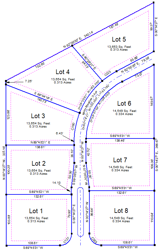
Our Subdivide software includes all of the features of Deed-Chek plus powerful subdivision layout and design routines. Ideal for both residential and commercial land development.
- Use the Site Calculator to calculate lot coverage.
- Automatically subdivide a parcel into 2 or more equal parts.
- Automatically subdivide a parcel into smaller lots of a specific area.
- Force a lot to a specific area using sliding side, swinging side, and radial side methods.
- Draw setbacks and easements.
- Create roads, sidewalks, and right-of-ways from a centerline.
- Mirror a lot or building footprint.
- Export lots and lines to Google Earth.
- Export finished drawing to DXF to send to other engineers or surveyors.
- Find a location in Google Maps.
- Enter latitude/longitude locations.
- Includes over 40 symbols. You can modify them if needed, or even create your own.
- Insert images such as aerials or scanned TOPO maps.
- Automatically create cul-de-sacs.
- Automatically create parking stalls.
- Create legal descriptions for your lots with the included "Deed-Writer", which is based on our popular Legal-Aid legal description writer for surveyors.
|